LO04 - THE PO'S FLOOD BED - 1

LO04 - THE PO'S FLOOD BED - 1

Gps Track

Gps Track

  • Start: Codogno, railway station
  • Arrival: Codogno, railway station
  • Total Length: 44,0 km
  • Cycle type: Street
  • Travel time by bike: 02:13 (hh:min)
  • Difficulty by Cycle: Easy
  • Climb up: 41 m
  • Climb down: 41 m
  • Cyclability: 100 %
  • Coated: 99 %
  • Offroad: 1 %
  • Own statictrack: 40 %

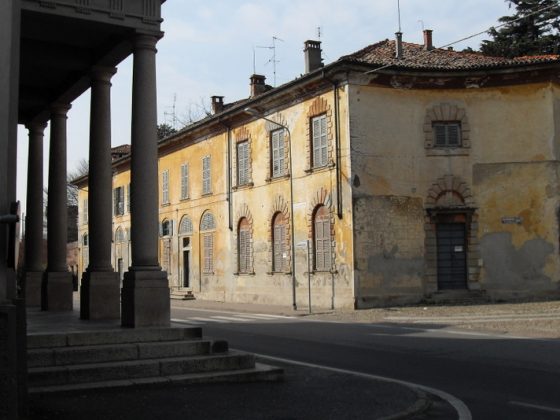
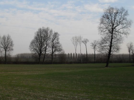
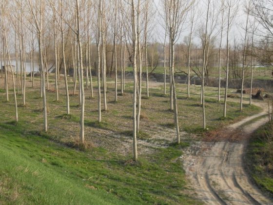
The first Po flood bed ring-shaped itinerary develops along the Bassa Lodigiana area, connecting the main centres and towns of the area: Codogno, Somaglia, Senna Lodigiana, San Rocco al Porto, S. Stefano L. and San Fiorano. The core of this itinerary is the environment, with impressive landscapes along the Po bank road and around the Monticchie natural reserve.

zoomgeolocalization

SHARE ON

Share on facebook
Share on whatsapp
Share on telegram
Share on email