LO02 - LODI'S PERIURBAN RING

LO02 - LODI'S PERIURBAN RING

Gps Track

Gps Track

  • Start: Lodi, Viale Piacenza
  • Arrival: Lodi, Piazzale Fiume
  • Total Length: 26,8 km
  • Cycle type: Hybrid
  • Travel time by bike: 01:29 (hh:min)
  • Difficulty by Cycle: Easy
  • Signals:

    Available on the Muzza channel

  • Suggested time:

    All year long

  • How to arrive:

    FS Railway Lines Milan-Piacenza and Milan-Mantua

  • Climb up: 18 m
  • Climb down: 25 m
  • Cyclability: 100 %
  • Coated: 39 %
  • Offroad: 46 %
  • Statictrack: 15 %
  • Own statictrack: 46 %

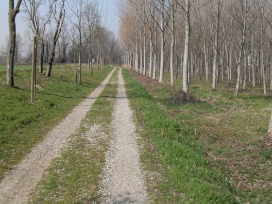
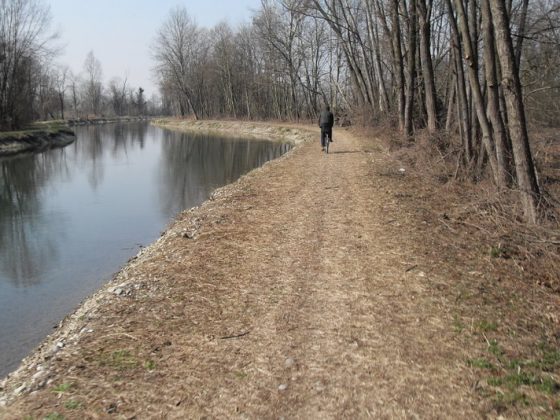
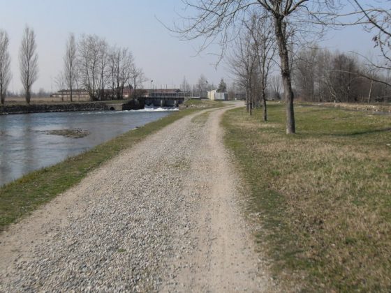
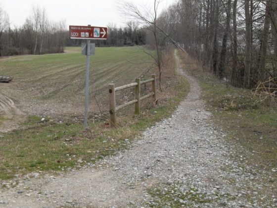
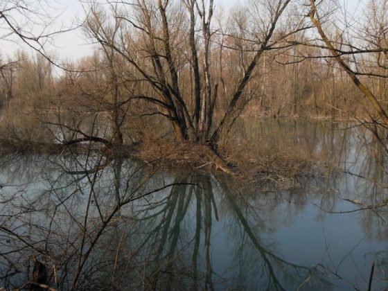
This ring-shaped itinerary develops chiefly along the tow-paths of the Muzza. This path features proper signals and indications and is equipped with several parking and stop areas and it crosses the rural land of Lodi’s periurban belt. The itinerary crosses a wide number of irrigation works. The path also features an interesting environmental element, the Belgiardino’s natural reserve imposing woods.

zoomgeolocalization

SHARE ON

Share on facebook
Share on whatsapp
Share on telegram
Share on email