LO05 - MEDIO LODIGIANO

LO05 - MEDIO LODIGIANO

Gps Track

Gps Track

  • Start: Borghetto Lodigiano
  • Arrival: San Martino in Strada
  • Total Length: 30,3 km
  • Cycle type: Street
  • Travel time by bike: 01:32 (hh:min)
  • Difficulty by Cycle: Easy
  • Signals:

    None

  • Suggested time:

    All year long

  • Climb up: 28 m
  • Climb down: 24 m
  • Cyclability: 100 %
  • Coated: 94 %
  • Offroad: 6 %
  • Own statictrack: 17 %

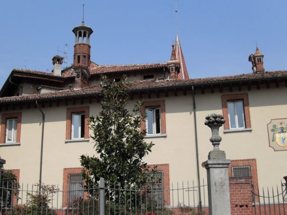
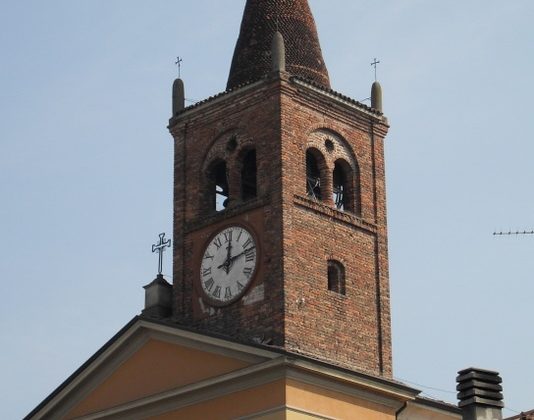
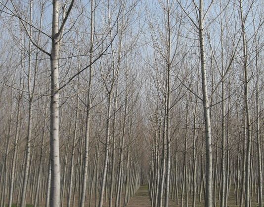
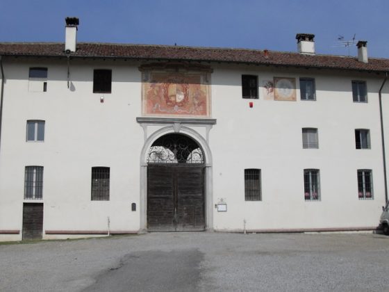
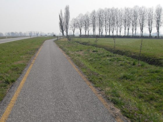
This itinerary crosses the territory of the Medio Lodigiano from West to East, connecting the areas surrounding the rivers Lambro and Addaand the paths of the Dorsale Adda, the Lodi Periurban Ring or the Lambro Ring. This path unfolds almost entirely on secondary roads, with little traffic, surrounded chiefly by agricultural lands, interrupted by the pleasant architectural structures of the rural towns crossed by the paths.

zoomgeolocalization

SHARE ON

Share on facebook
Share on whatsapp
Share on telegram
Share on email